windfall lake
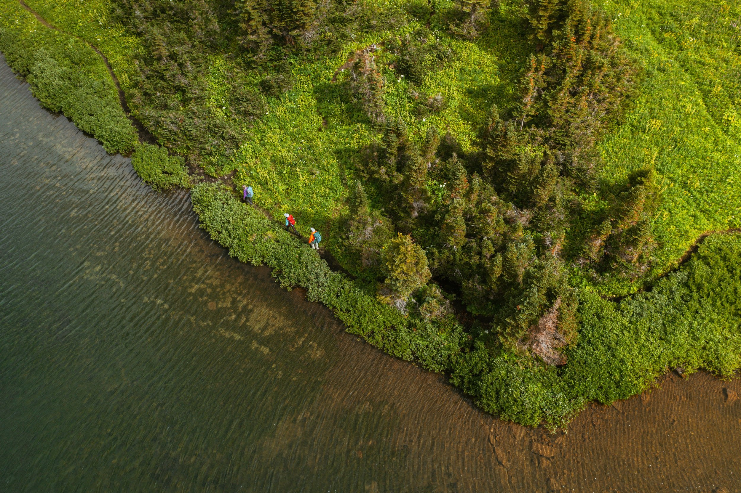
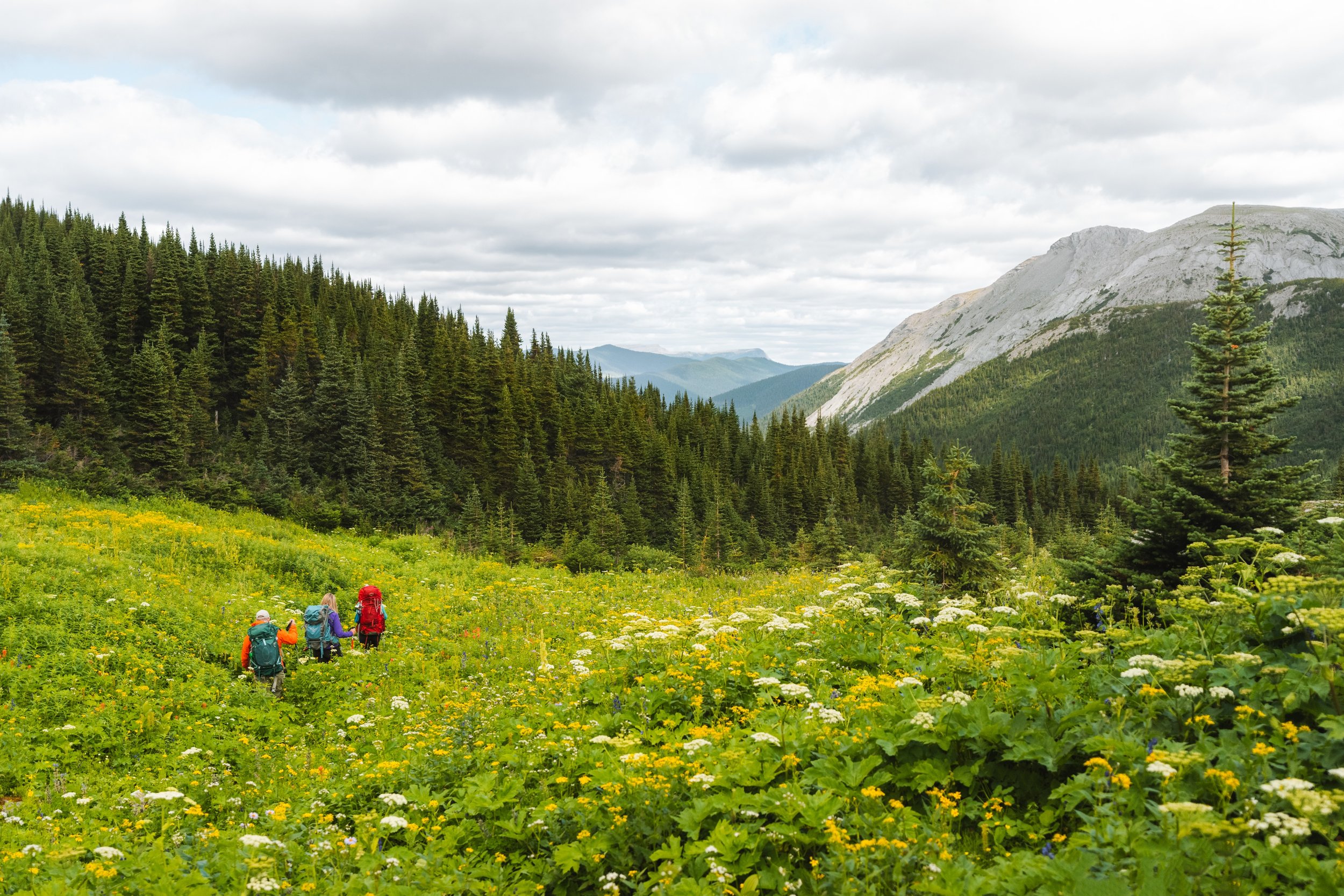
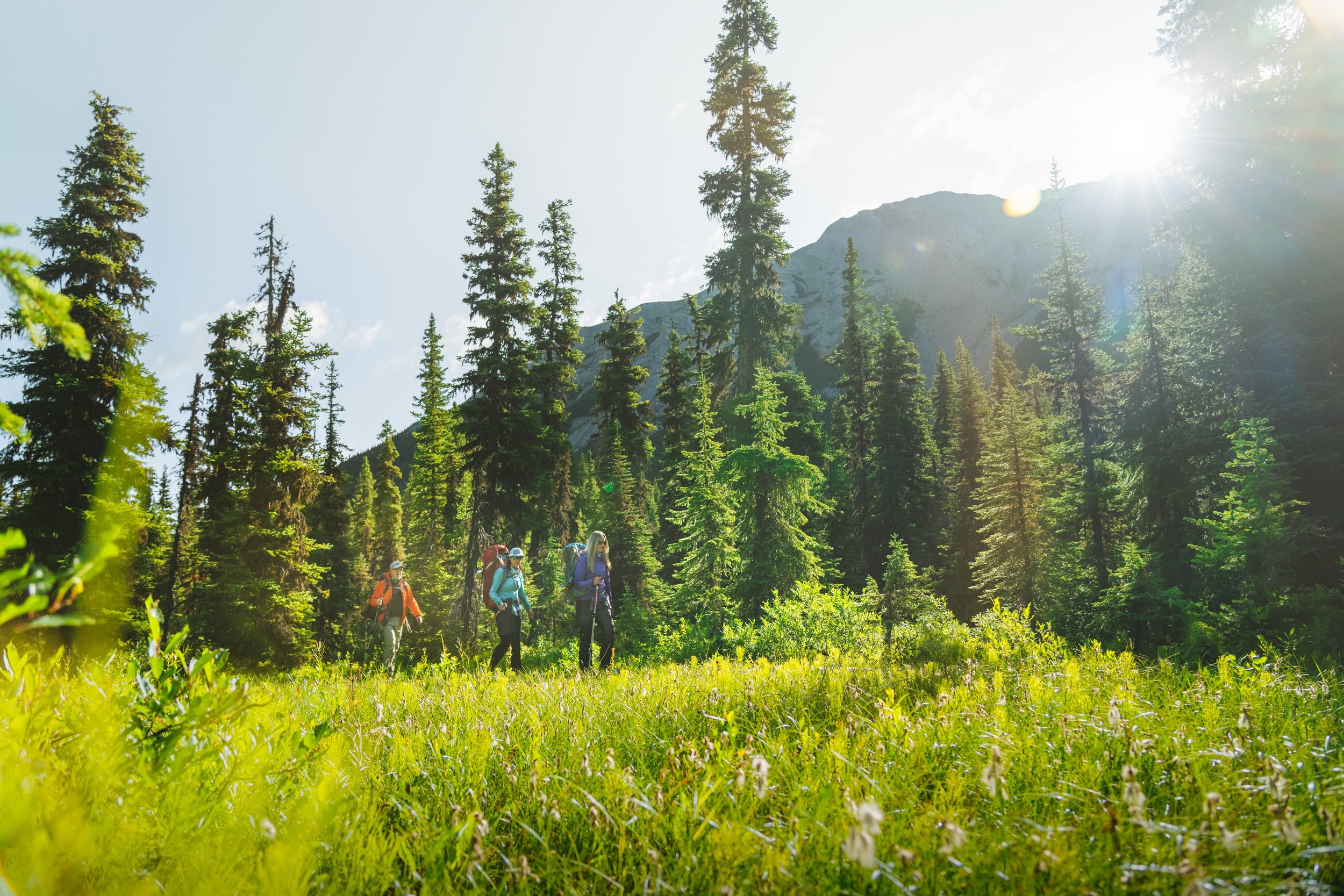
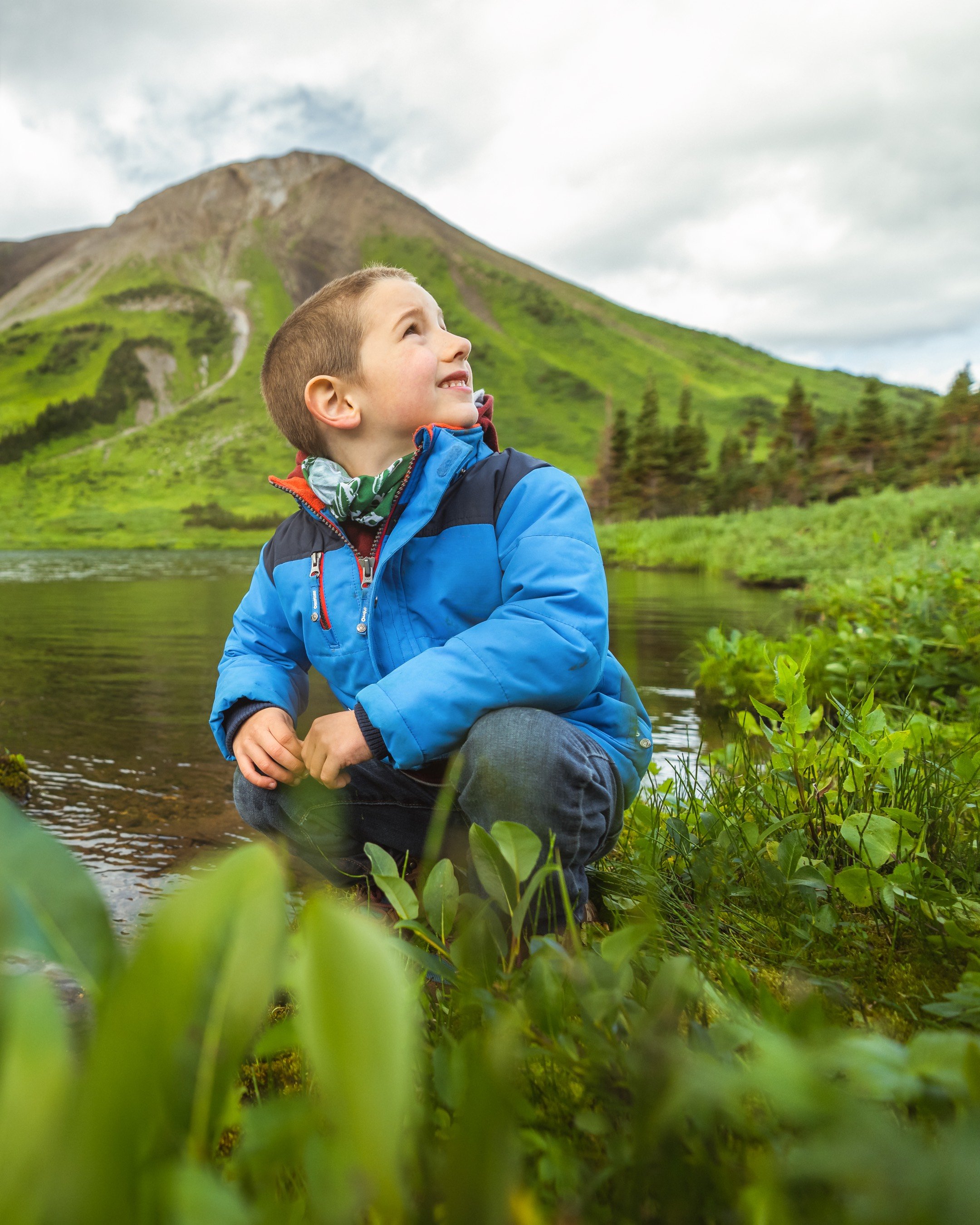
Experience the breathtaking scenery of the Windfall Lake trail as you embark on a five-kilometer climb through lush forests and picturesque sub-alpine meadows. Discover the stunning alpine lake nestled in a cirque below towering cliffs at tree-line. For your return journey, take the circular route and explore the unique karst topography.
Distance | Time:
10 km return to the lake | 5-7 hours
Elevation Gain: 414 m
Trail Rating:
Challenging

Features:
Pristine lake with 6 tent sites, views, caves.
-

Trails
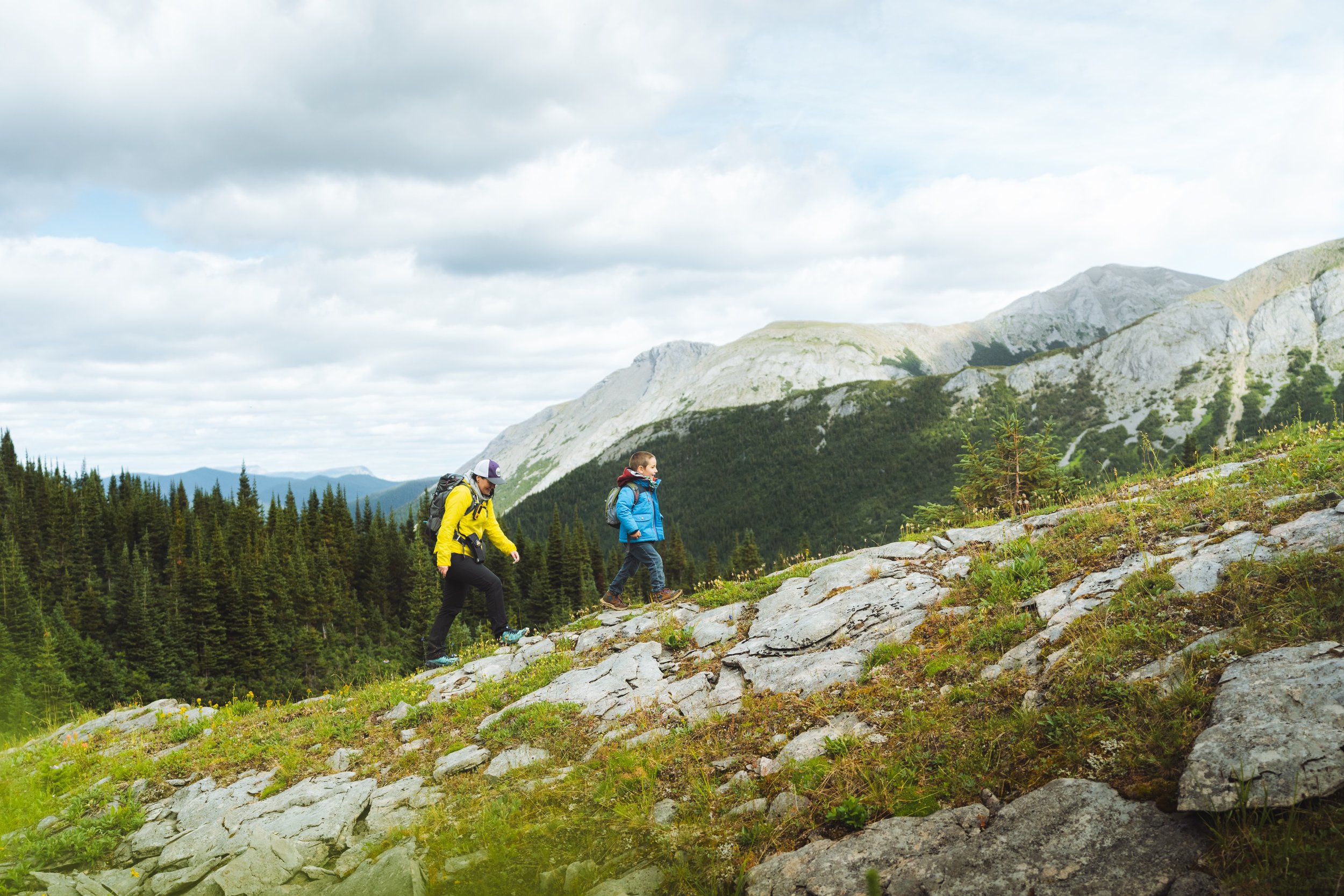
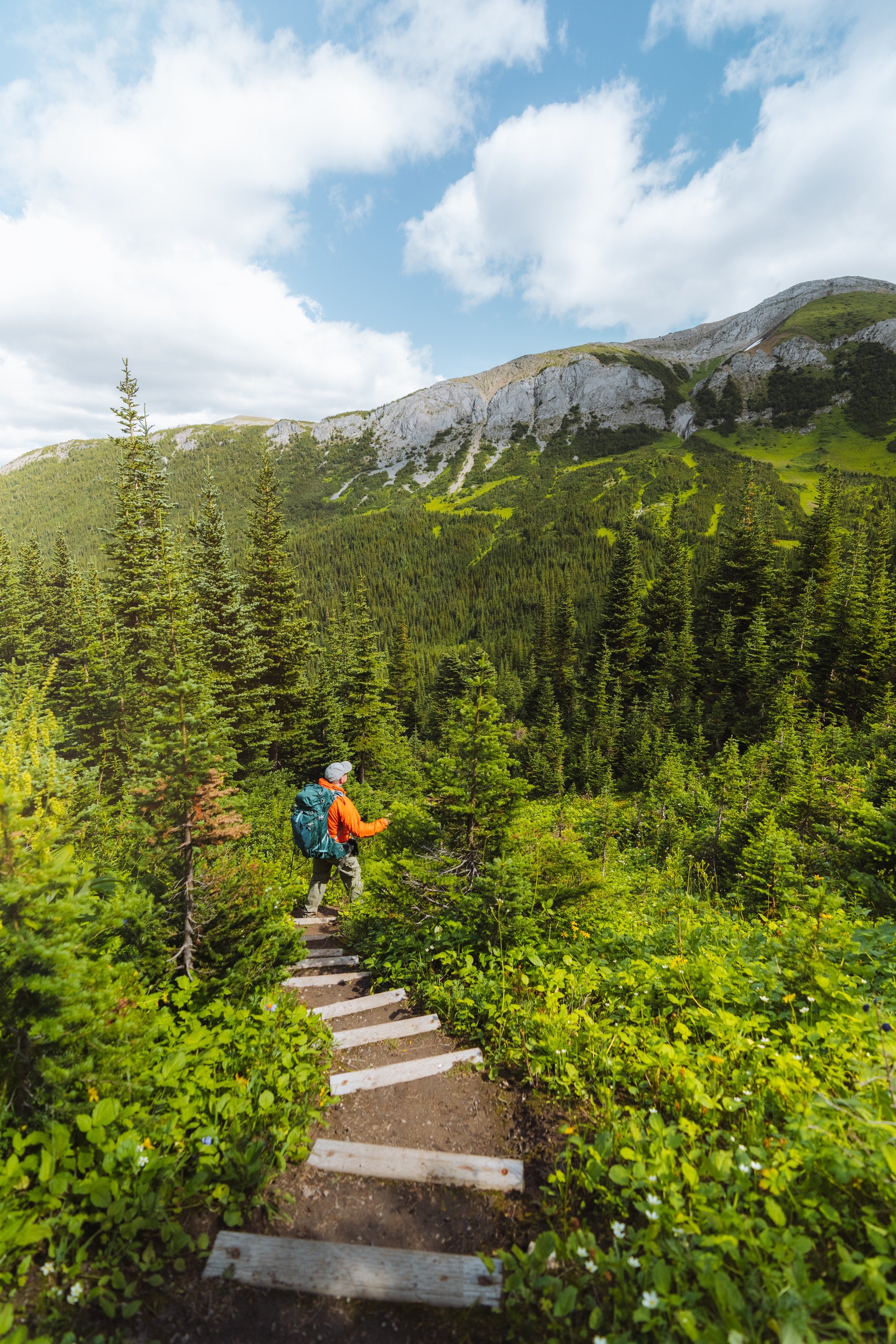
The Windfall Lake trail is an unforgettable hiking experience that takes you through lush forests and open meadows. You'll encounter a section with newly installed steps before the trail flattens out, offering stunning views of the rock wall above the lake.
-

Camping
There are six tent pads, food storage lockers, a dishwashing station and an outhouse. Please pack out what you pack in. Campfires are not allowed at these campsites due to the lack of available firewood in this sensitive environment. Follow the shore on the left to the south end of the lake for better, drier areas for relaxing or swimming.
-

Guided Tours
Windfall Lake is a challenging hike with quite an elevation gain. Once you reach the alpine, it is beneficial to have route-finding skills. Check with our local guides as they may have an option to do a guided and/or group hike.
-

Trip Link
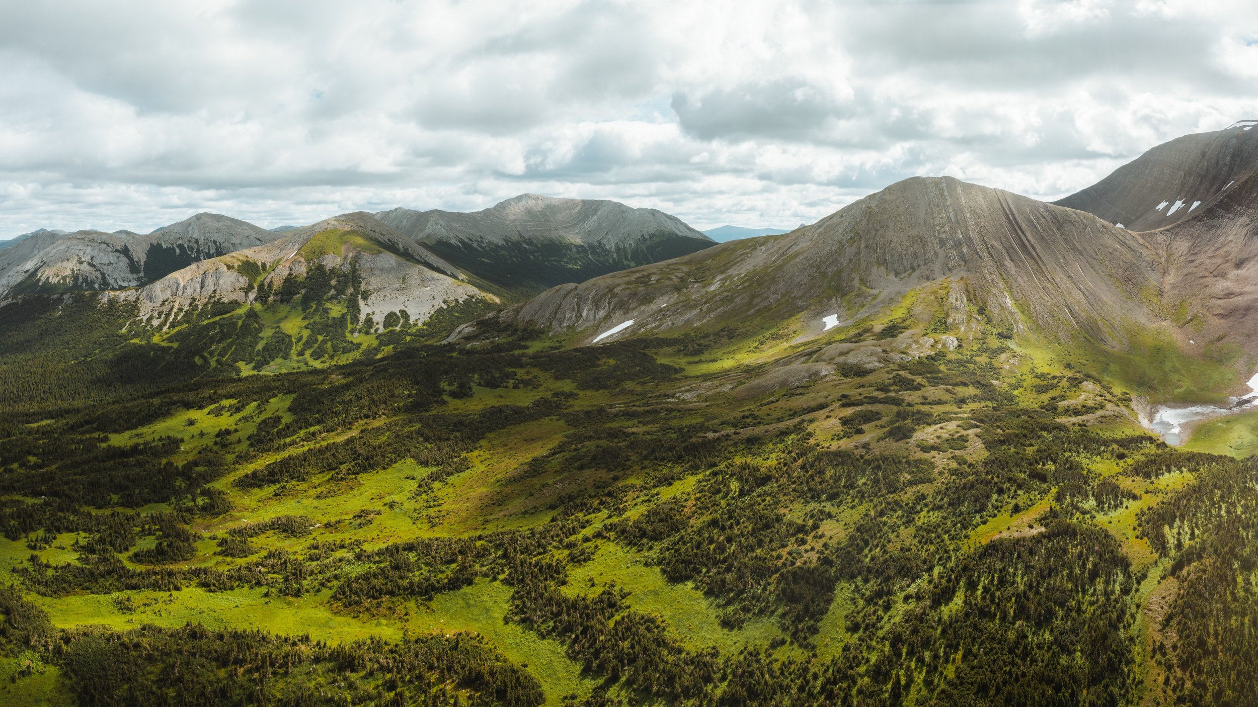
For a rewarding return trip, we highly recommend taking the circular route . You'll journey through stunning limestone terrain with small caves to explore. For more experienced hikers, there are larger caves higher up, though be aware that these can be challenging and require advanced skills. The circular route begins near the campsite area at the southeast end of the lake.
-

Photography
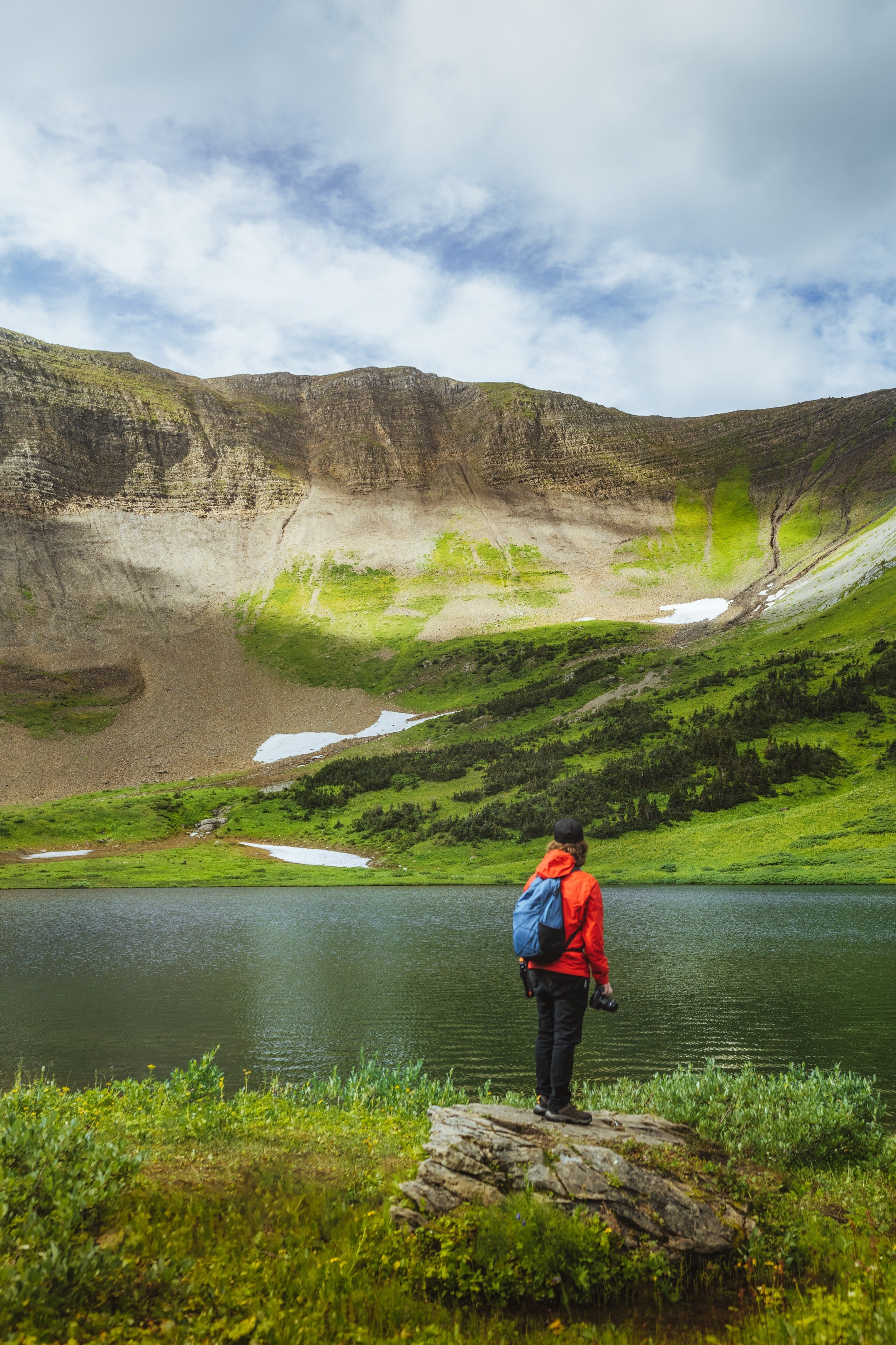
Once at the lake, which is nestled in a bowl below impressive cliffs, note the spot where the outlet stream disappears into an underground channel. The views in every direction at Windfall Lake make it an amazing spot for photography.
-

Caution
There are options to explore further from the Windfall Lake trail - these areas are more challenging, suitable only for experienced hikers with good route-finding skills. The alpine ridges are often windy, and fog may roll in unexpectedly. Take a GPS, map and compass, and be prepared to use them. See the WNMS Hiker’s Guide for more information.
DIRECTIONS TO TRAILHEAD
From Tumbler Ridge, drive north towards Chetwynd on Hwy 29 for 25 km to the turnoff for the former Bullmoose Mine. Follow the Bullmoose mine road for 17 km and turn left onto the Windfall Creek Forest Service Road. Follow the Windfall Creek FSR as it heads up the valley of South Bullmoose Creek. There is a junction at the 9 km mark – do not take the turnoff to the left, but head straight, cross a small bridge, and continue up the road. This road climbs over a pass at km 14. Turn left at km 23 and follow this side road for 1.8 km until it ends at a deactivated crossing of Windfall Creek. The signed trailhead and outhouse are on the right.


thank you to our partners


experience tumbler ridge unfiltered. tag #tumblerridge to show us your adventures.