driving tour
Tumbler Ridge to Hole in the wall
RIDGE TO WALL SCENIC DRIVE
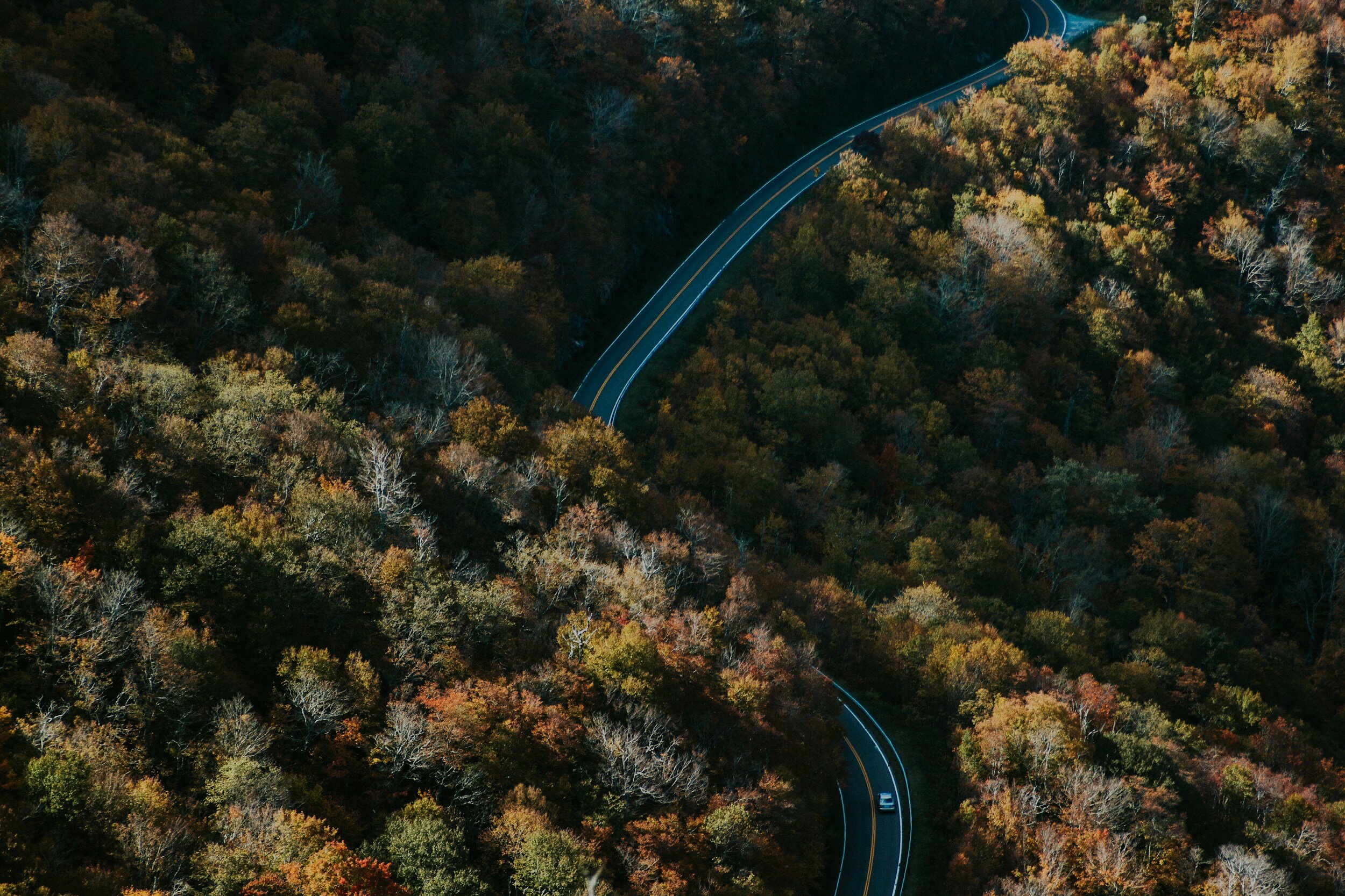
The journey from Tumbler Ridge to Hole in the Wall spans 69 km on paved Hwy 29, followed by 52 km on the Sukunka Forest Service Road (FSR), with the last ten kilometers presenting a challenging terrain.
If you opt for the recommended side trips, the total one-way distance extends to 160 km. Along the route, numerous attractions await exploration, including a wetland hiking area, three lakes, two waterfalls, and a resurgence spring, all encompassed within three provincial parks. These seven suggested stops, detailed in this guide, feature short hiking trails leading to most attractions, all situated within the Tumbler Ridge UNESCO Global Geopark.
Since there is no circular route available, returning to Tumbler Ridge via the same path is necessary. Alternatively, upon reaching Hwy 29 on the return journey, one can choose to head for Chetwynd, located 21 km away. Take a break in Chetwynd to explore their impressive outdoor chainsaw carvings – with over 177 captivating displays! Both Hwy 29 and the Sukunka FSR offer picturesque views of the foothills scenery in the Hart Ranges of the Rocky Mountains. Please be mindful that the Suskunka FSR is a industry-used road and a radio with the proper channels for communication with other traffic is strongly recommended.
stops along the way

Bullmoose Marshes

Gwillim Lake

Boulder Lake

Martin Falls

Sukunka Falls

Hidden Lake

Hole In The WalL

thank you to our partners