community forest interpretive trail
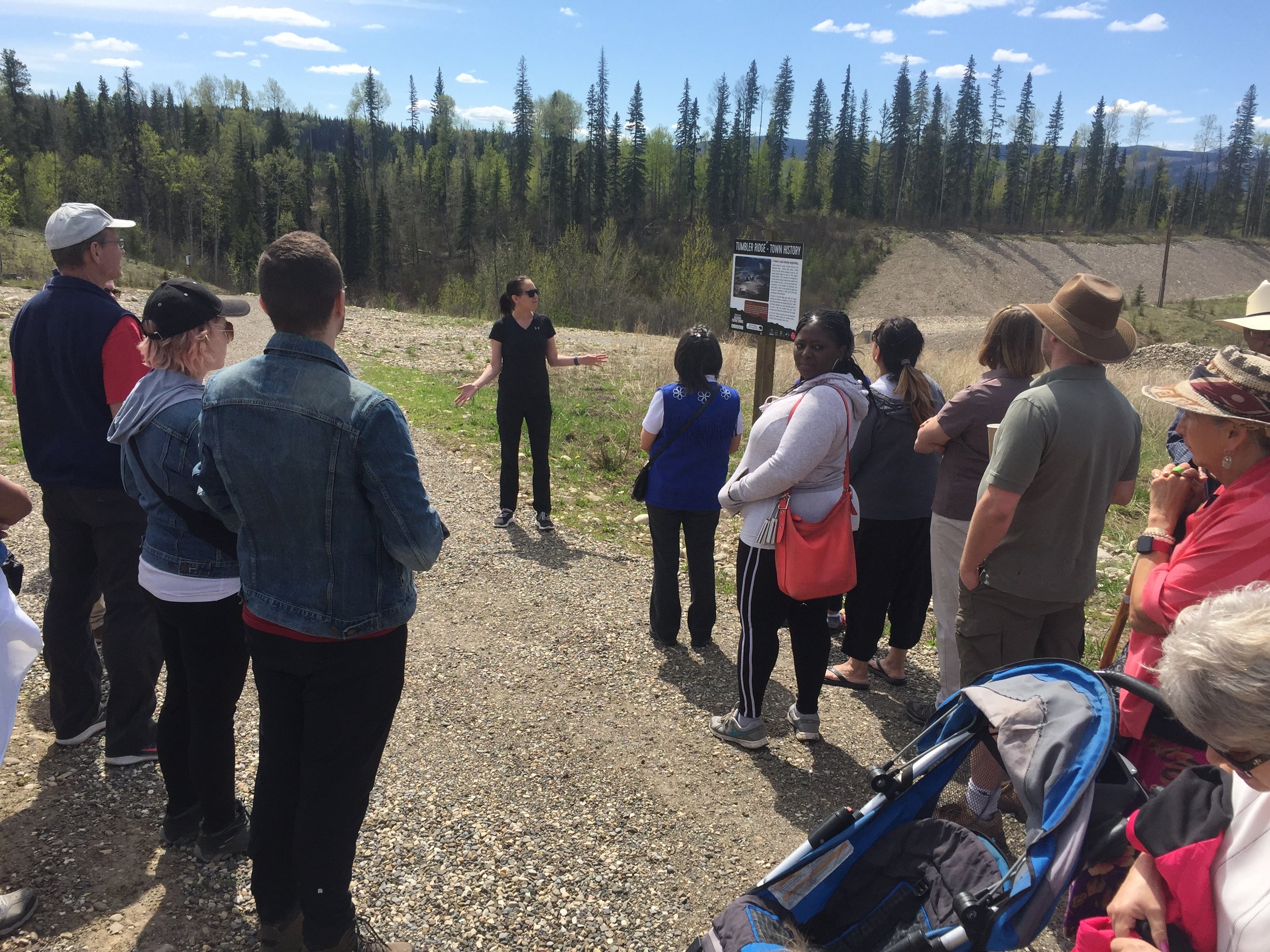
The Community Forest Interpretive Trail was developed as an initiative of the Tumbler Ridge Community Forest (TRCF) with significant contributions from the District of Tumbler Ridge and with input from students at Tumbler Ridge Secondary School. The mission of the TRCF is to manage our Community Forest in an environmentally sound and ecologically sustainable manner, providing direct benefits to the community.
Distance | Time:
0.75 km return | 1 hours
Trail Rating:
Moderate

Features:
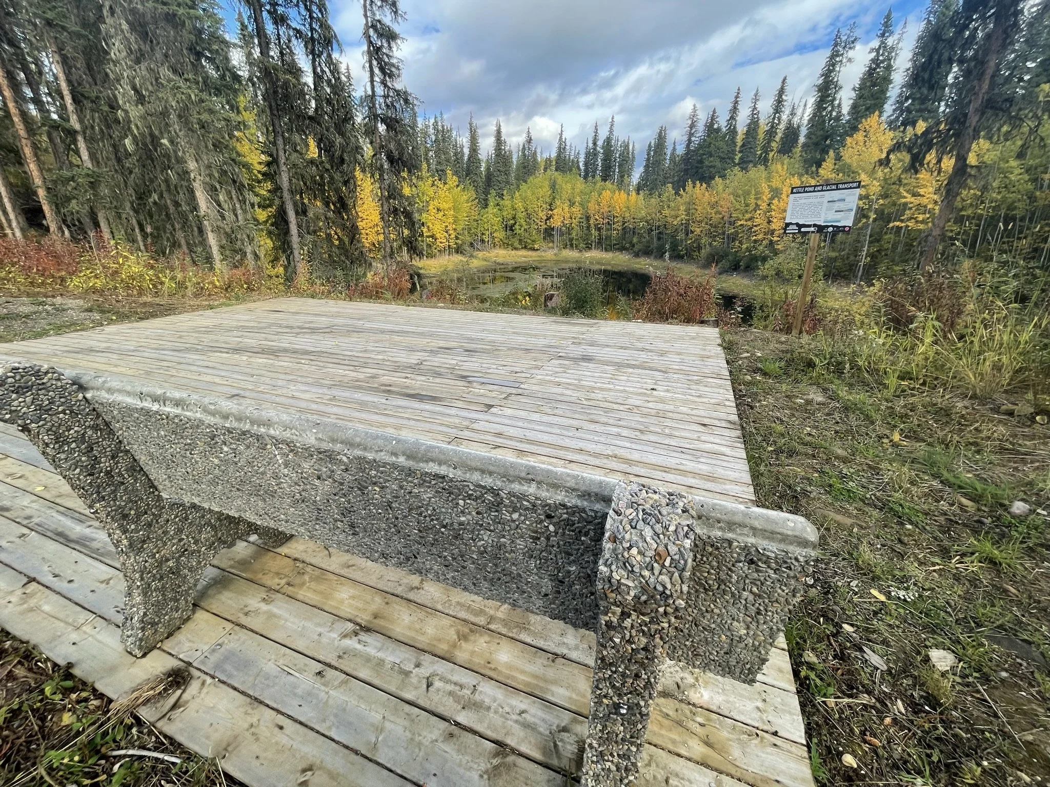
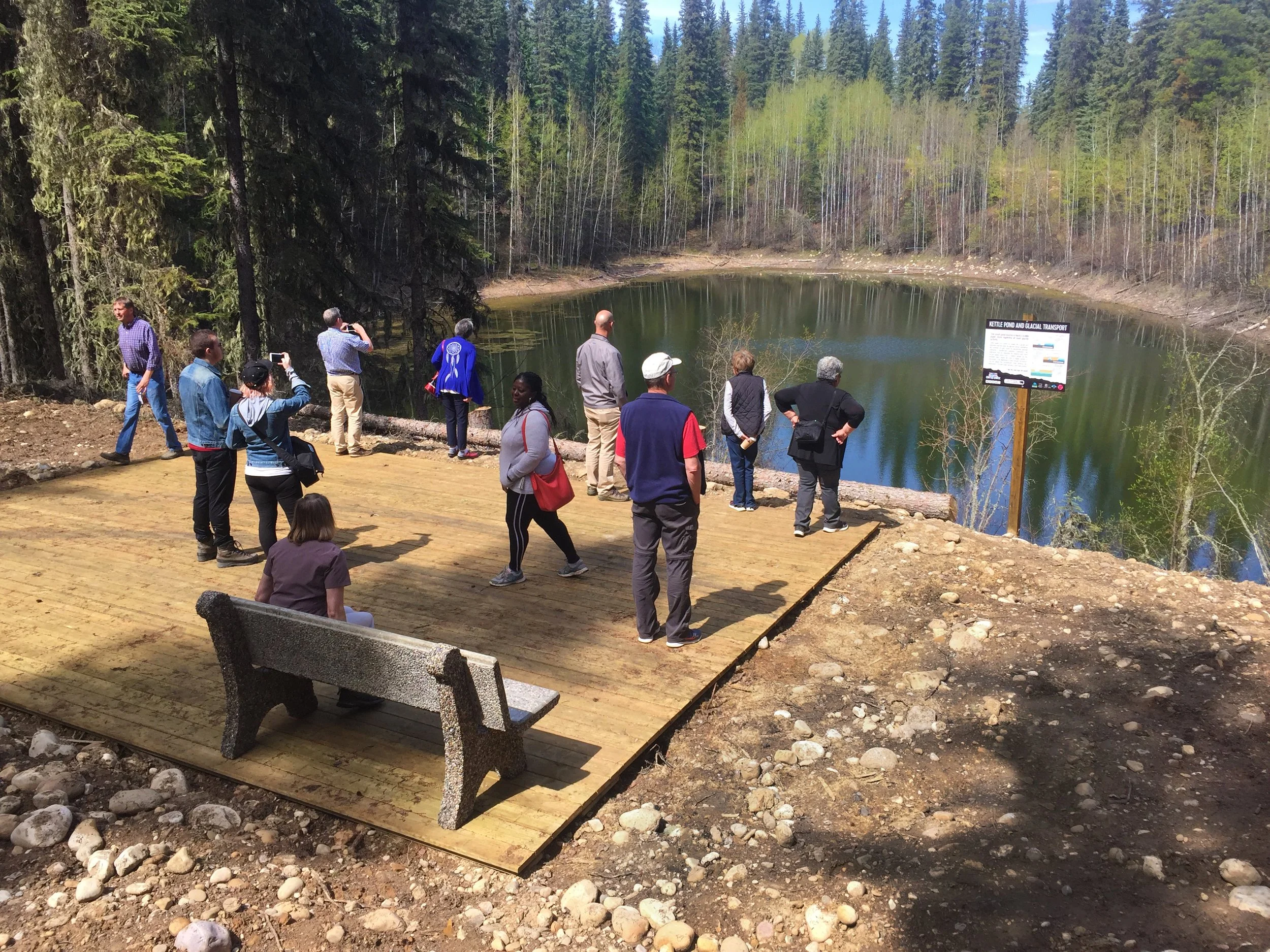
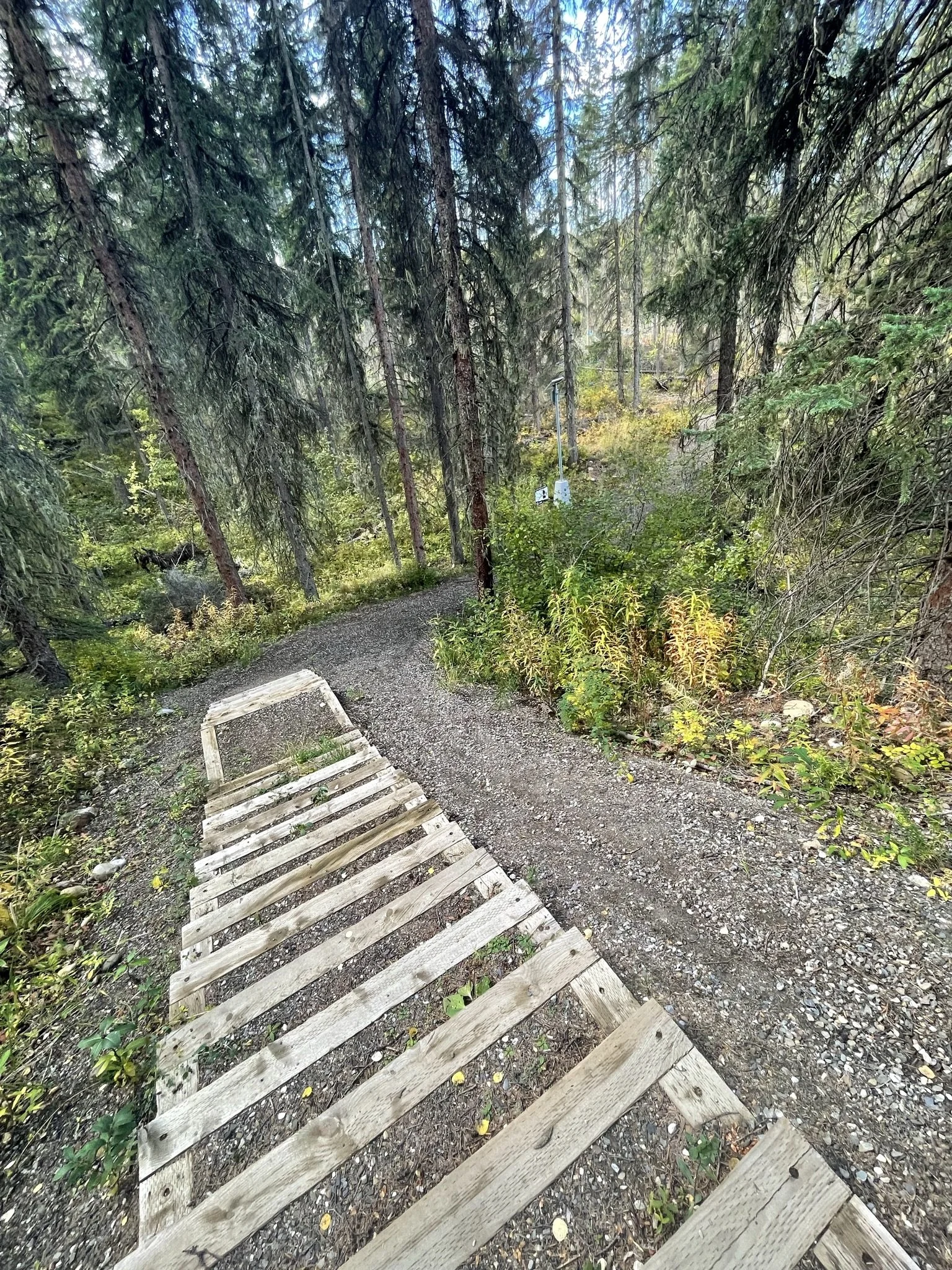
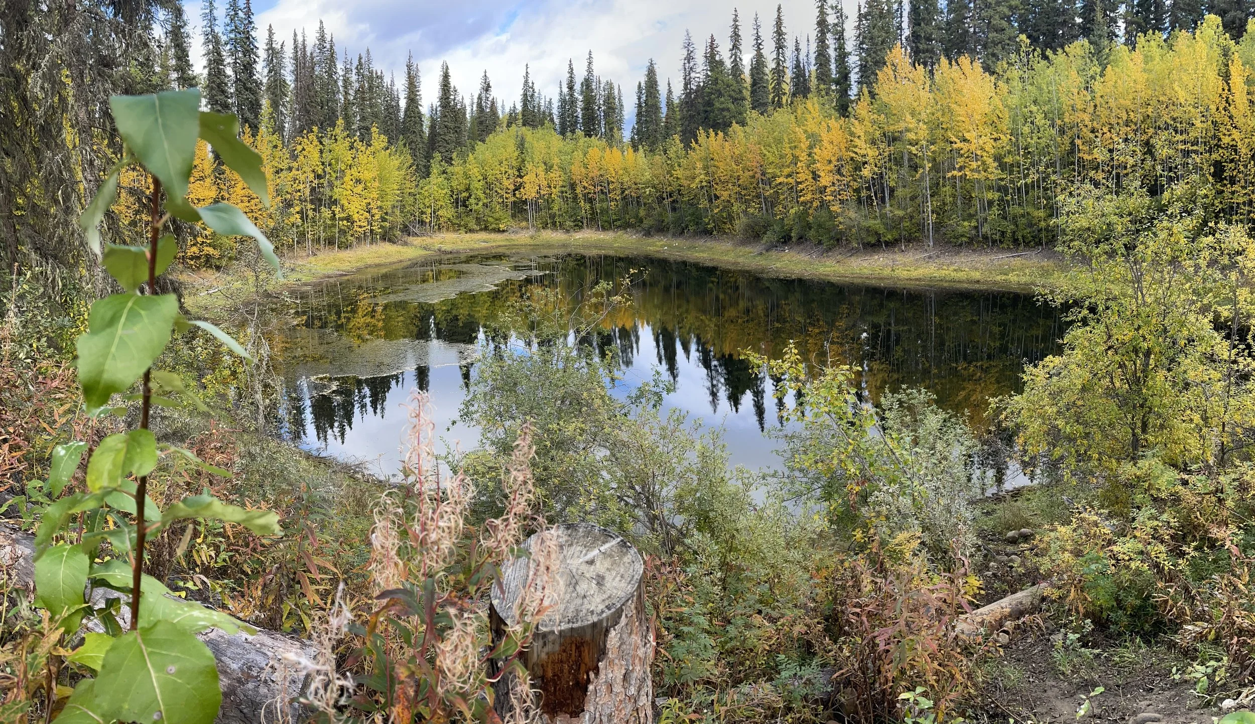
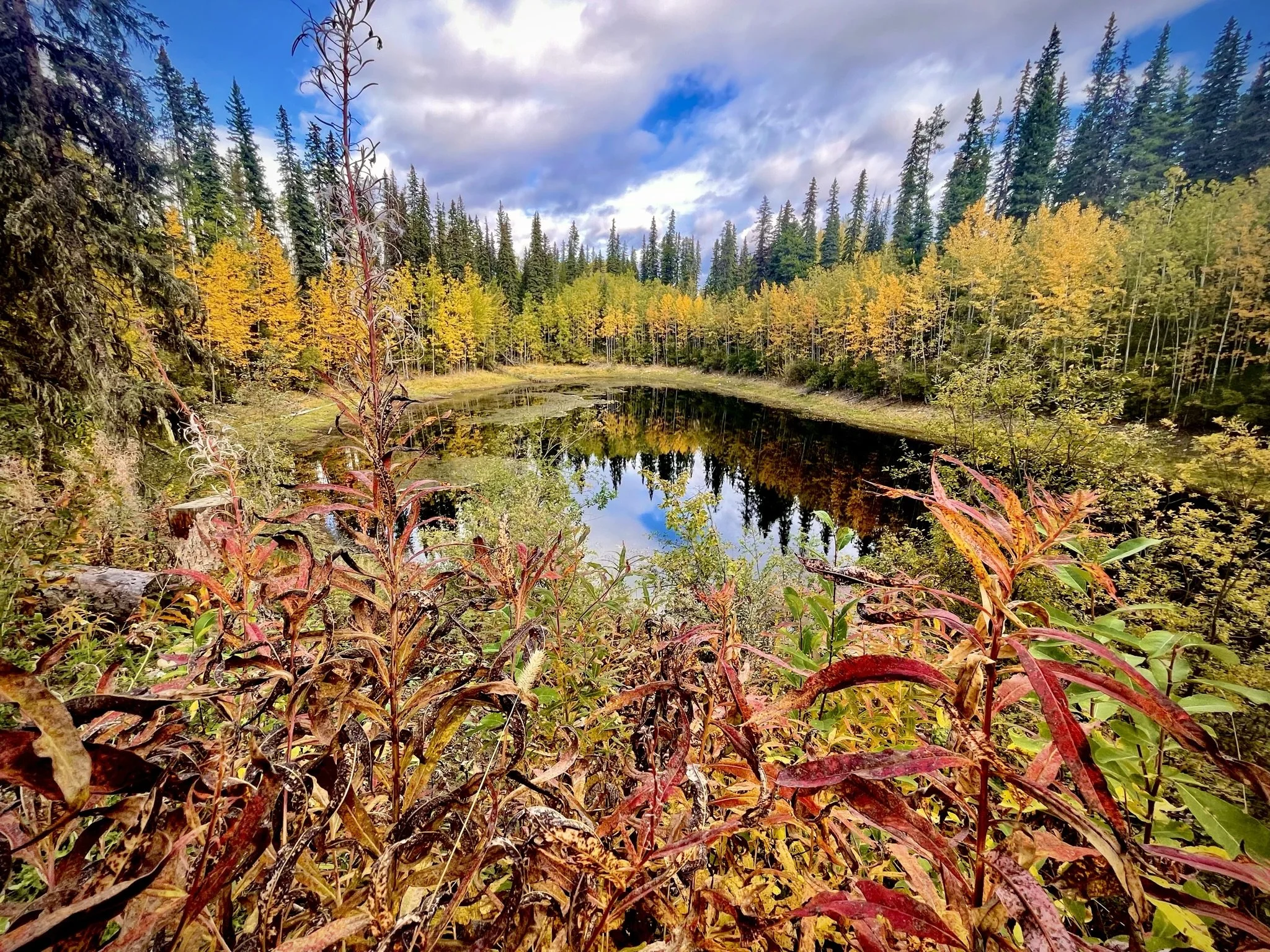
Pond with lookout platform, interpretive signage.
Caution:
Some steep sections.
-

Trails
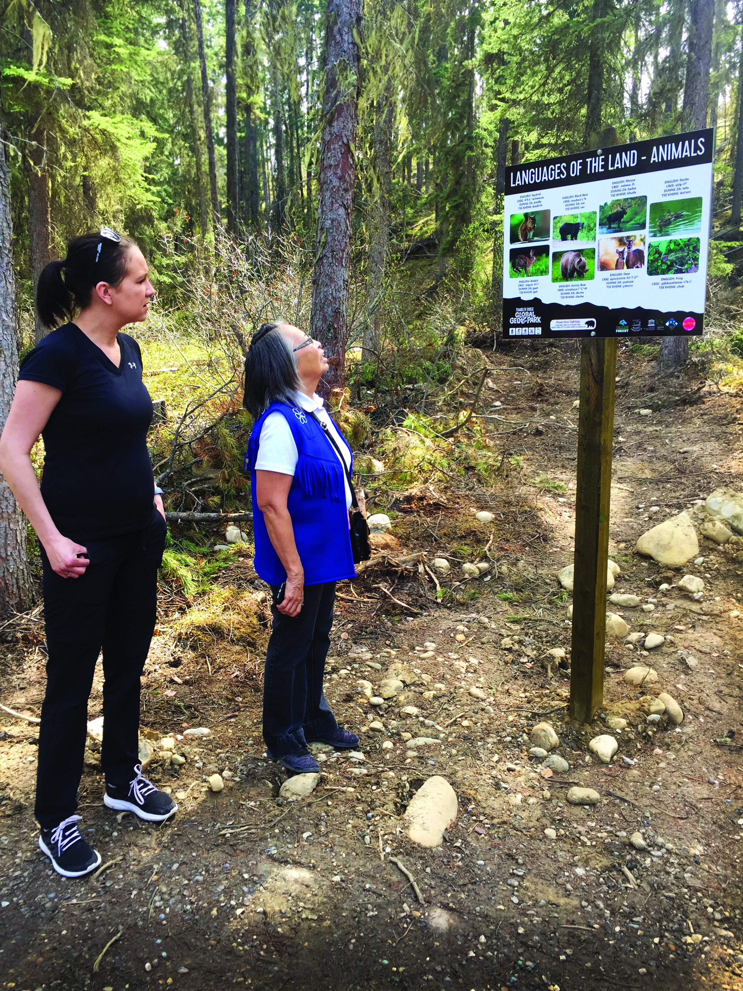
The inception of the Tumbler Ridge Interpretive Trail was a collaborative effort between the Tumbler Ridge Community Forest (TRCF) and the Tumbler Ridge Secondary School (TRSS). The necessary funds for constructing the trail were obtained through a grant from the BC Rural Dividend Fund. Notably, the District of Tumbler Ridge, the Tumbler Ridge Global Geopark, Marsha Ḵwa'xi'latł Dufresne, Kelly Lake Cree Nation, West Moberly First Nations, McLeod Lake Indian Band, Wolverine Nordic Mountain Society, and various other organizations played an instrumental role in bringing the interpretive signs to life.
-

Kettle Pond
The small pond on the trail is likely a kettle pond, evidence of past glacial activity. Kettle ponds form where ice breaks off a glacier and becomes stranded when the glaciers retreat. Sometimes the stranded ice gets buried by glaciofluvial outwash sediments. Glaciofluvial outwash sediments are sediments that are deposited by streams and rivers whose waters come from a melting glacier. As the stranded block begins to melt, it leaves behind a depression. If the depression is deep enough, the bottom can be below the groundwater table allowing the depression to fill with water forming a pond.
-

Indigenous History
The stories of Indigenous peoples tell of giant’s footsteps that left pothole lakes, and of glacial boulders that move and transform into people when no one is around. These stories have been passed down through the generations, and build a different kind of map of the land. They developed alongside the languages spoken by the people of the land, as groups of ancient peoples settled in pockets across the landscape when the first migrations of people came to the area. Indigenous languages are tied to the territory of their people, and will often have words that only refer to places, spirits and stories of the valleys, mountains and lakes where the language speakers make their living.
-

Snowshoeing & Skiing
During the winter season the Community Forest Interpretive Trail transforms into an ideal destination for invigorating cross-country skiing and snowshoeing excursions.
-
Archaeology
You may see some yellow flagging tape around trees on the high knolls along the trail. Before the Community Forest completed selective logging in this area, they worked with local archaeologists to identify areas where past people may have camped or left behind tools from hunting and other daily activities. Archaeological sites are protected in BC by the Heritage Conservation Act. Archaeologists consider the forest type, the access to resources like water or good hunting, the height of land in all seasons, and the ways this land has changed in the past 12,000 years since people began living in these forests when they look at the landscape. In this area, they put up flagging tape to tell the logging operation where heavy equipment could not go, and impacts to the most likely locations for archaeology sites were avoided.
-

Caution
Use caution on steep sections.
This trail is in bear country; travel in groups and make noise.
Please pack out what you packed in.
DIRECTIONS TO TRAILHEAD
The trail begins directly behind the Visitor Information Centre at 265 Southgate Street.
thank you to our partners


experience tumbler ridge unfiltered. tag #tumblerridge to show us your adventures.